Italy | Italian Dolomites Rifugio Trek
Hike through the most dramatic mountain ranges, stay in mountain huts, and visit authentic villages
Trip Highlights:
-
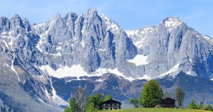
Trek through towers of limestone peaks
-
Experience a charming blend of cultures in authentic villages
-
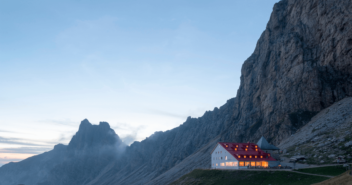
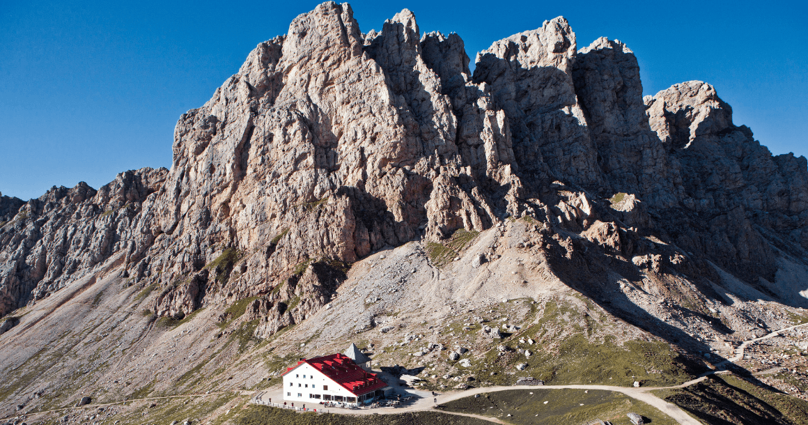
Enjoy mountain hut nights in well appointed Rifugios
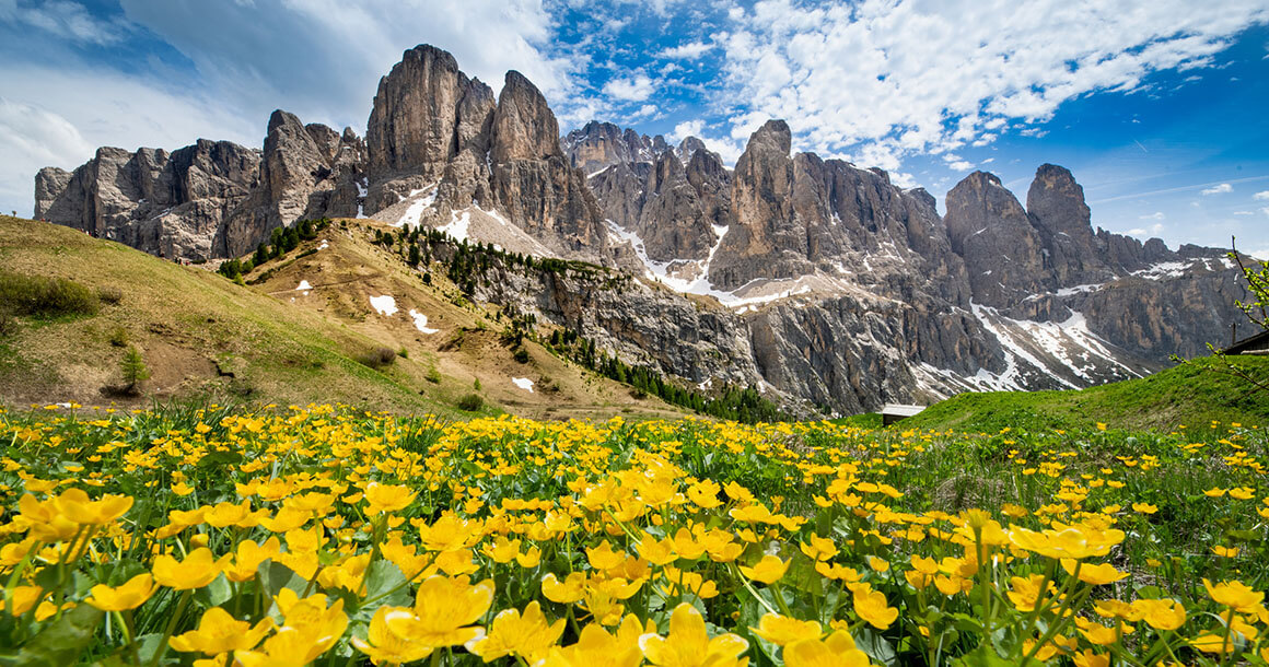
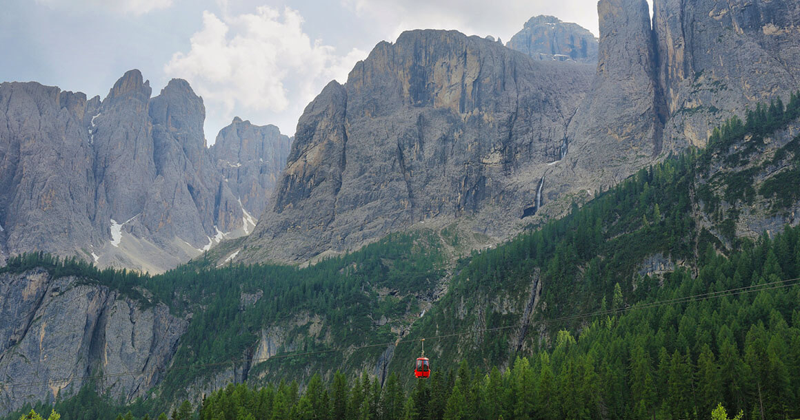
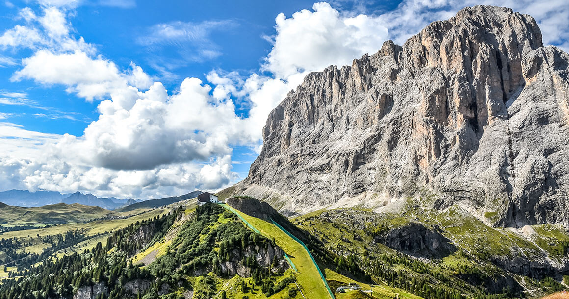
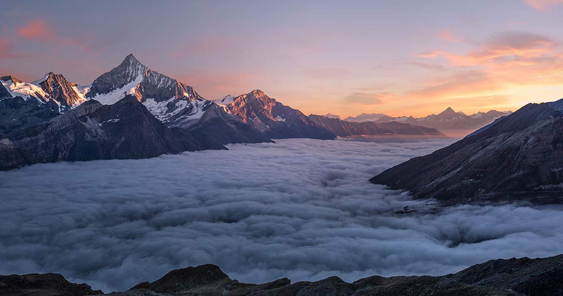
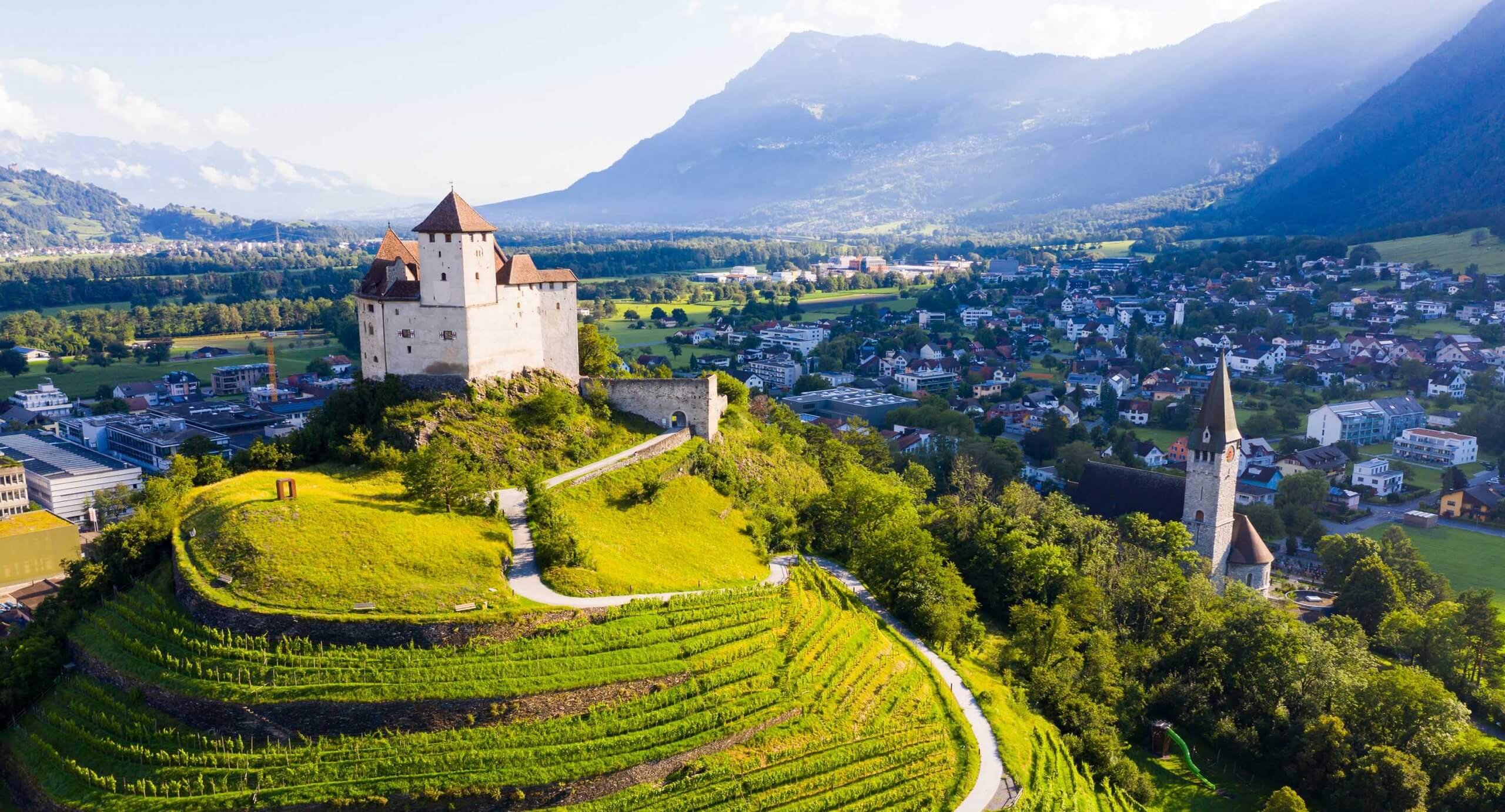
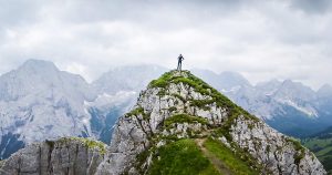
Towers of vertical limestone tinged pink in the evening light loom above the rolling, green meadows and intriguing castles, ruins and onion-domed church steeples of the villages below in the enchanting Alto Adige region of Northern Italy. The Dolomites are one of the earth’s most dramatic ranges and a paradise for hikers who come to enjoy the startling, vertical topography as well as the charming blend of cultures in the villages beneath.
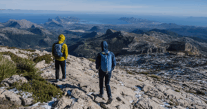
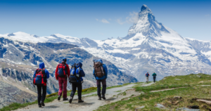
Our point-to-point hiking route through the region traverses from west to east and links not only the most spectacular mountain scenery in the Sciliar, Sassolungo, Puez and Tofane ranges, but the most atmospheric and authentic villages and huts along the way. Hiking days are moderately strenuous — nine miles with up to 3000 feet of elevation gain. To hike between villages and huts, you will rely primarily on high mountain footpaths, many above treeline, and take occasional advantage of li s so that you can use your energy to climb high into the peaks for views over the Dolomites to the Austrian Alps and the Marmolada, one of Italy’s most di icult summits. More challenging or less challenging options will be outlined on some days, but all hikers should be prepared for the most challenging days listed on the itinerary.
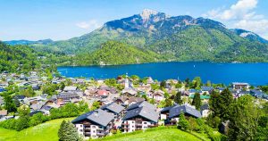
One of the great charms of the Alto Adige is the region’s mix of culture. You’ll begin in the antique, German speaking, Tyrolean village of Völs am Schlern, with its cobblestone streets and looming church tower. Above the village, hovers the Sciliar, an impressive rampart of limestone, and the objective of your first hike, which begins from Alpe di Siusi, or Seiser Alm, a spectacular alp, or meadow, that is the largest in Europe. From here, the views seem endless: from the Ortler, Stubaier and Zillertaler Alps of Austria to the north, to the nearer peaks of the Sassopiatto and Sassolungo ranges.
After two days hiking beneath the Sassolungo, you’ll descend into the Val Gardena, a long narrow valley beneath the Pordoi, Gardena and Sella Passes, and home to a number of quaint Tyrolean villages.
After ascending the beautiful Val Lunga, you’ll cross into the Alta Badia, a valley with an intriguing remnant from the Roman Empire– the Ladin or Romansch culture with its unique language, a blend of Latin and Celtic tongues.
Finally, you’ll traverse the Tofane range and descend into bustling Cortina D’Ampezzo, the decidedly Italian alpine center of the Dolomite range.
Trip Itinerary
Choose from our standard itinerary or customize the trek by adding or subtracting days.
Travel independently by rail to Bolzano where our driver will meet you for transfer to Völs. Overnight in an excellent four star hotel with a great kitchen.
Today’s hike begins in Alpe di Siusi, the largest meadow, or alp, in the Alps! Views extend to the Austrian Alps to the north and to the region’s dominant peaks, the Sassopiatto, Sassolungo and today’s objective, the Sciliar. After a quick boost by cable car, you’ll ascend toward the summit of the Sciliar and lunch at the Rifugio Bolzano at 2457 m. Optional hike: summit the Monte Pez for additional stunning views. Descend/traverse to the Rifugio Alpe di Tires for a very comfortable night.
Distance: 8 miles. Elevation gain: 2600/1300 ft.
Follow a rambling and quiet path over the Seiser Alm, the largest alp in the Alps. A short climb takes you to the Rifugio Sasso Piatto where you can enjoy an early lunch or continue on the Friedrich-August-Weg to the Rifugio Sandro Pertini for a later lunch. A lengthy and gentle traverse takes you the Sella Pass (Passo di Sella) where a very short walk takes you the Rifugio Carlo Valentini.
Distance: 9 miles. Elevation gain: 1800 ft.
From the Sella Pass ascend to the Forcella Sassolungo, one of the most dramatic passes in the Dolomites. Descend a steeper trail between the Sassopiatto and Sassolungo (no drop offs). If the timing is right have lunch at the spectacularly situated Rifugio Vicenza. Follow this wild gorge/valley and traverse and descend to the Ciampinoi cable car and take it down to Sëlva/Wolkenstein. This is the principal village of the Val Gardena and your home for the night. You are in an excellent three star hotel. Note it is possible to erase the initial ascent with a crazy gondola ride.
Distance: 7 miles. Elevation gain/loss: 2400/1100 ft.
Ascending the lovely Val Lunga, a pristine glacial valley surrounded by towering limestone walls, you’ll climb through amazing karst terrain before descending a dramatic valley beneath the towering Sassongher. A steep and well made trail takes you down to sunny Corvara. Enjoy a quick gondola ride followed by a short walk to your very well-appointed Rifugio Pralongiá.
Distance: 8 miles. Elevation gain/loss: 24000/3000 ft.
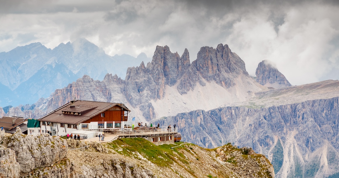
Traverse below the Settsass. Ascend to the pass below the Picollo Settsass and traverse to the Passo Valparola. Wander past the beautifully and recently restored Tre Sassi fort on the way to the Falzarego Pass. Ride the cable car to the Rifugio Lagazuoi and enjoy the finest hut views in the Dolomites.
Distance: 7 miles. Elevation gain/loss: 1700/1600 ft.
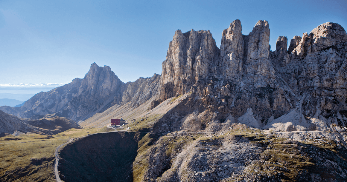
Today you will cross the entire upper reach of the spectacular Val Travenanzes. Your trail descends to the pass where you pick up the Alta Via Uno, or “High-Path-No. 1”, a route considered one of the premier walking routes in Italy. Ascend gradually to a striking vantage point before descending to the beautifully located Rifugio Angelo Dibona. Ryder-Walker provides a taxi to the alpine center of Cortina d’Ampezzo.
Distance: 5 miles. Elevation gain/loss: 200/2400 ft.
Depart.
Buses from Cortina connect to the main train lines in Venice, Milan and Munich.

