France & Switzerland | Hiker’s Haute Route
Walk the famous "High Level Path" from Chamonix to Zermatt.

Trip Highlights:
-
Follow the original mountain route from France to Switzerland.
-
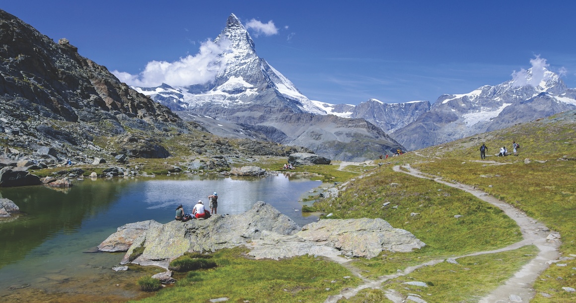
Snap photos of Mont Blanc and the Matterhorn.
-
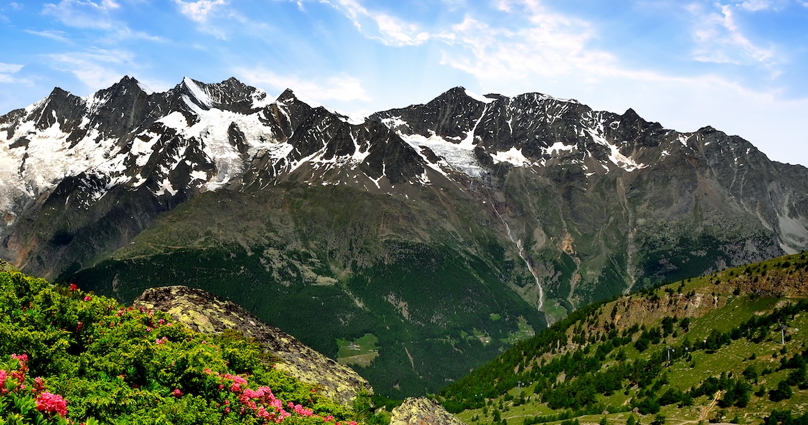
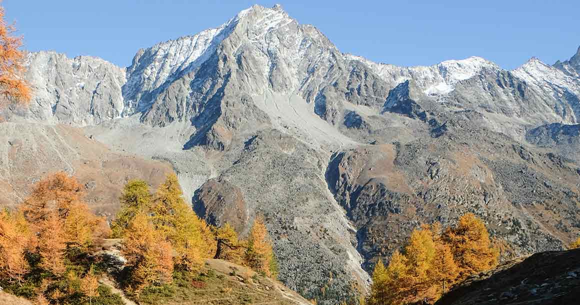
Hike through the Pennine Alps, the highest mountain range in Western Europe.
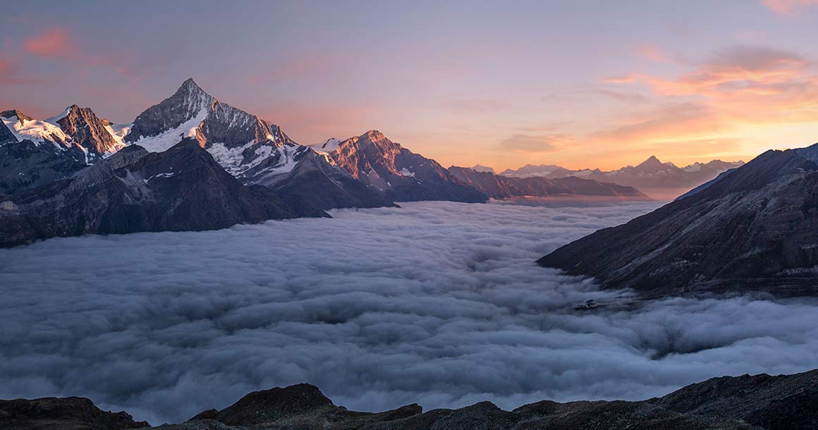
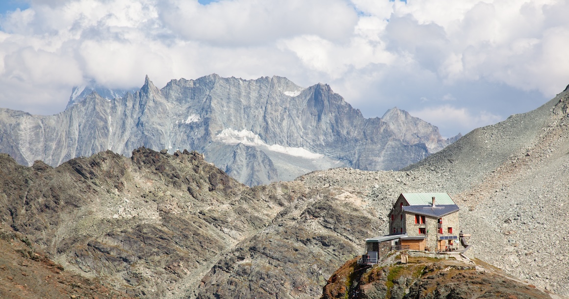
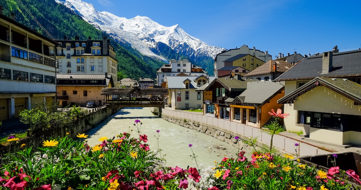
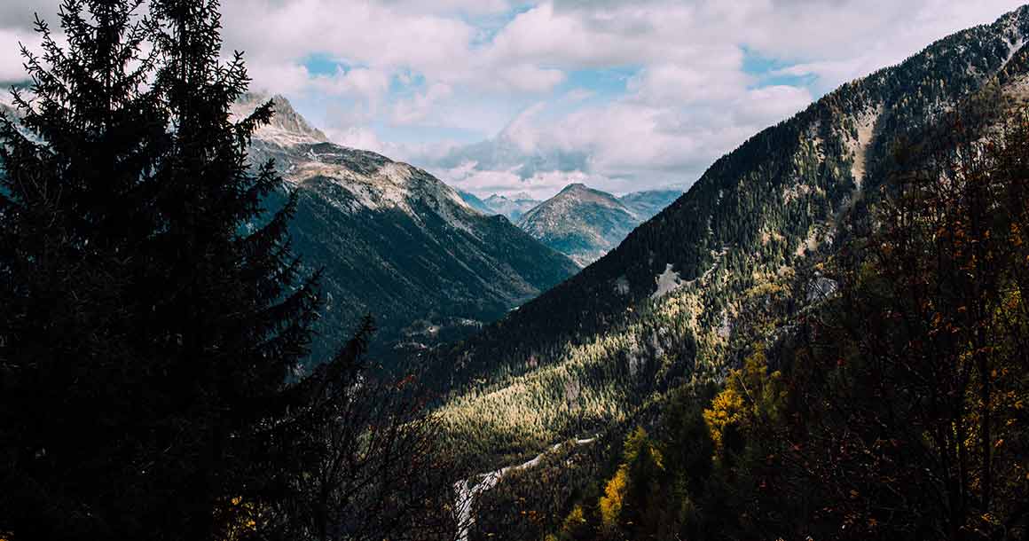
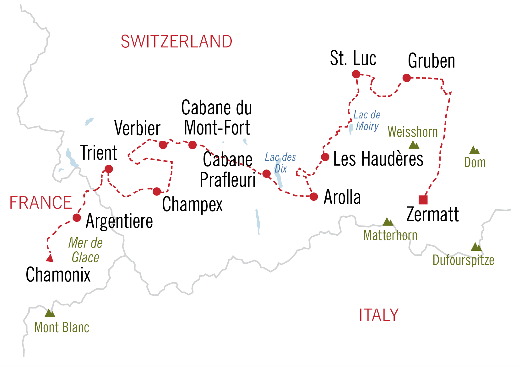
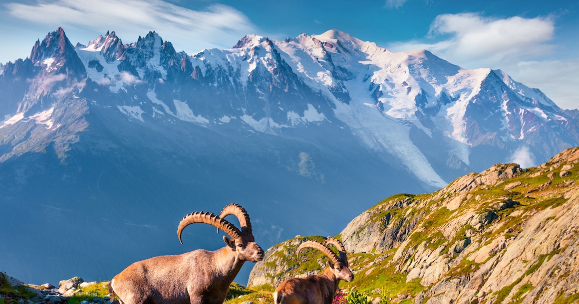
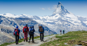
This self-guided trek links the villages of the Mont Blanc region and the western Swiss Valais, crossing through the highest mountain range in western Europe, the Pennine Alps. You hike through two distinct cultural regions, the French speaking and German speaking Alps. Starting in the bustling alpine center of Chamonix, France beneath the dramatic flanks of Europe’s highest summit, Mont Blanc, and its spectacular Aiguilles, you hike eastward into Switzerland and cross the Valais by a number of high passes that connect several small villages, with their blackened timber houses and slate roofs. Finish in the incomparable Zermatt set beneath the soaring pyramidal flanks of the Matterhorn.
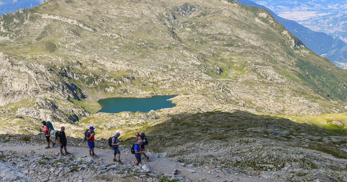
This dramatic and often remote hiking tour sees surprisingly little traffic, and you will enjoy the most spectacular views of the western hemisphere from quiet footpaths between Chamonix and Zermatt.
Trip Itinerary
Choose from our standard itinerary or customize the trek by adding or subtracting days.
Independently transfer to Chamonix. Overnight in a grand, old world hotel.
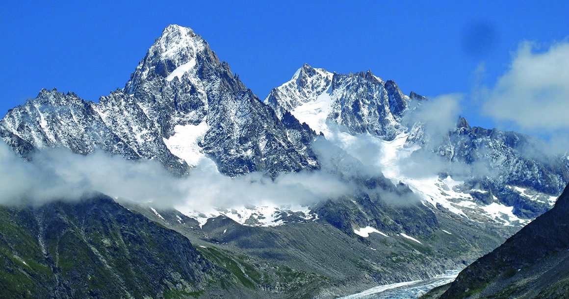
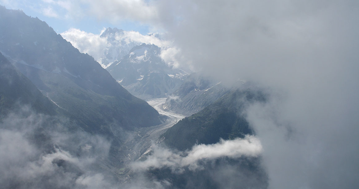
Enjoy a gentle introductory hike with spectacular views over the Mont Blanc range. Your hike along the Grand Balcon Sud offers some of the best photo opportunities of Mont Blanc, the Mer de Glace, and the Aiguilles, or rock needles, of the Chamonix Valley. Overnight in a three-star inn in Argentière.
Distance: 8 miles. Elevation gain/loss: 1000/3500 ft.
Hike from Argentière to the village of Trient over the Aiguillette des Posettes, with spectacular views of the Aiguilles of Chamonix, its glaciers, and Mont Blanc. Overnight in a mountain hostel in Trient. Shared bathrooms/showers in hall. Private rooms are subject to availability.
Distance: 9 miles. Elevation gain/loss: 3000/3500 ft.
Enjoy awesome views of the Rhone Valley as you find your way through high alpine meadows. Descend through a gorgeous side valley to the lovely little resort village of Champex and your Swiss chalet.
Distance: 10.5 miles. Elevation gain/loss: 3200/2500 ft.
Transfer to Arolla and a comfortable three-star inn. A great half day hike above Arolla to Pas de Chevres provides amazing views glaciers and the Matterhorn on a clear day.
Distance: 8.5 miles. Elevation gain/loss: 3000 ft.
A spectacular hike lies ahead with views of Mont Collon, L’Eveque, the Pigne d’Arolla, and the Aiguilles Rouges. Descend to the little village of Les Haudères, with its blackened timber homes. Overnight in a simple hotel.
Distance: 10 miles. Elevation gain/loss: 3300/3800 ft.
After ascending through pastures with views back to the Aiguilles Rouges, you cross a high pass. Descend to the head of the Val d’Anniviers and transfer to St. Luc. Overnight in a special country inn filled with antiques and old world charm.
Distance: 10 miles. Elevation gain/loss: 4500/2500 ft.
Ascend a beautiful, remote valley to a spectacular pass with views back to the Aiguilles Rouges and the Dent D’Herens, and forward to the peaks above Zermatt: the Matterhorn, OberGabelhorn, Dent Blanche, and Weisshorn. Descend into the Turtmanntal and overnight at its sole hostelry, a simple inn offering refuge to hikers and climbers from around the world.
Distance: 11 miles. Elevation gain: 3000/3200 ft.
Another pass lies along a medieval trading route with views of the Mischabel range separating Zermatt from Saas Fee, and the peaks of the Oberland to the southeast. The descent terminates in a tiny village perched high above the Mattertal and accessible only by cable car. Transfer to Zermatt beneath the Matterhorn. Overnight in a superior, first-class country inn with a Gault et Millau rated chef and every amenity you could want.
Distance: 11.5 miles. Elevation gain/loss: 5000/4500 ft.
