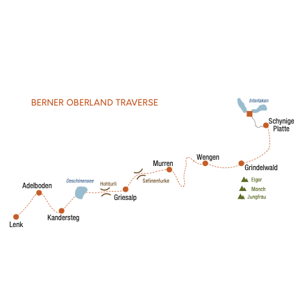
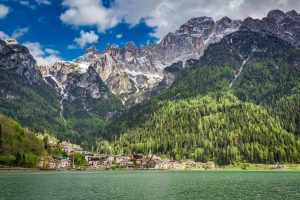
Switzerland | Berner Oberland Traverse
Nine days of hiking through Switzerland's famed Berner Oberland region.
Trip Highlights:
-
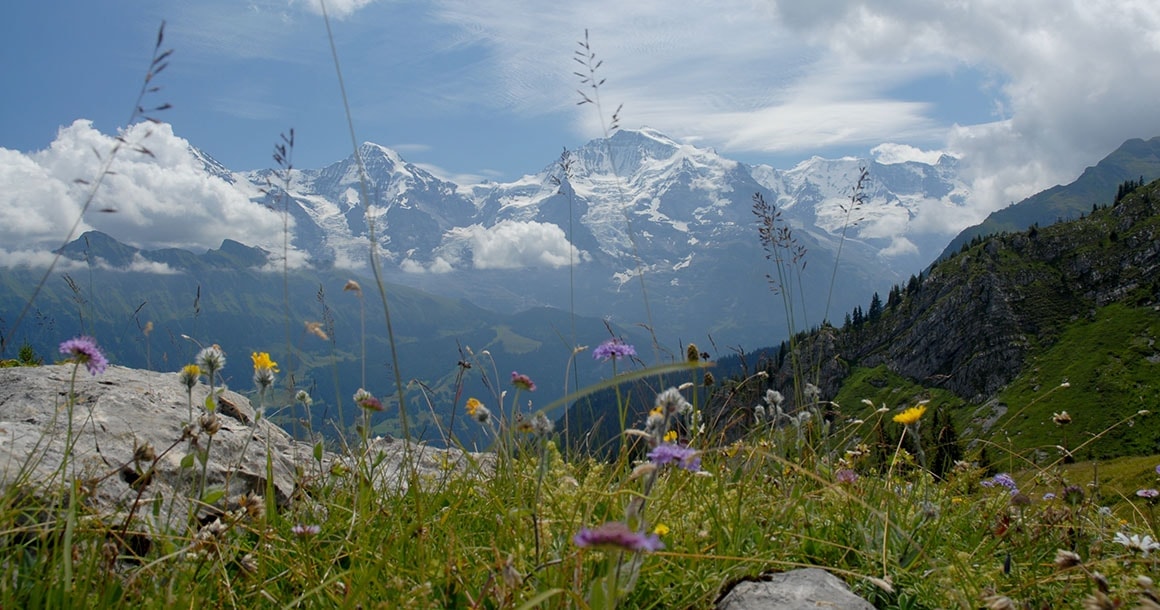
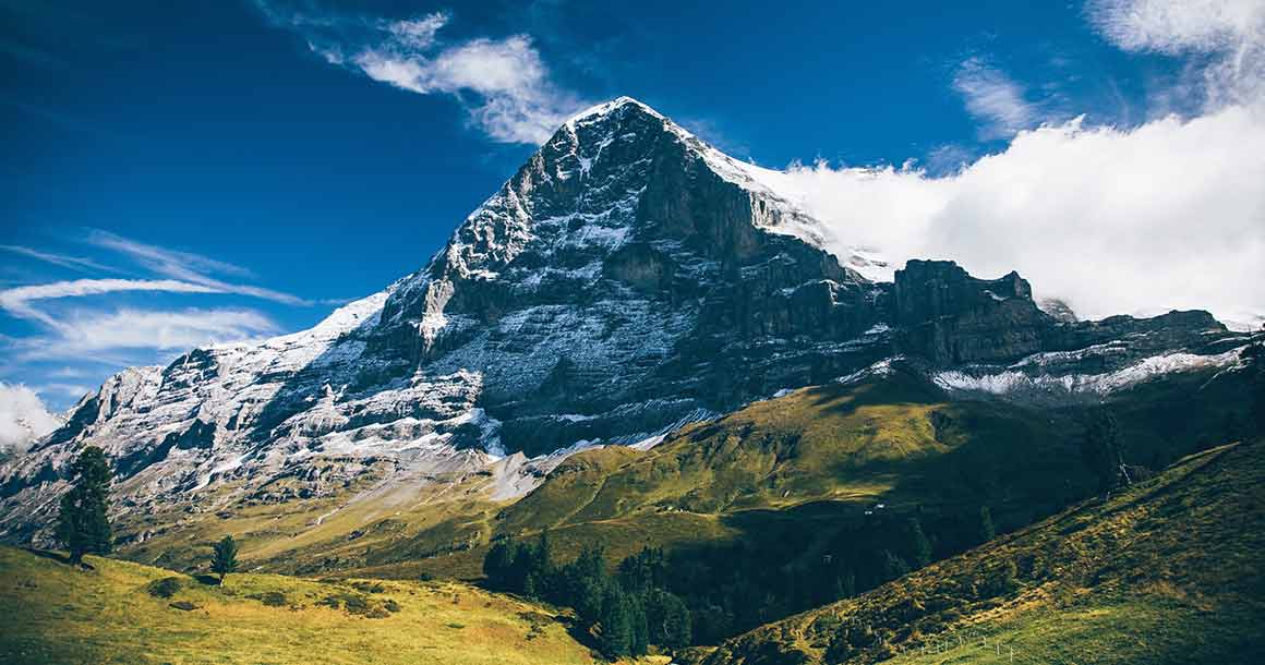
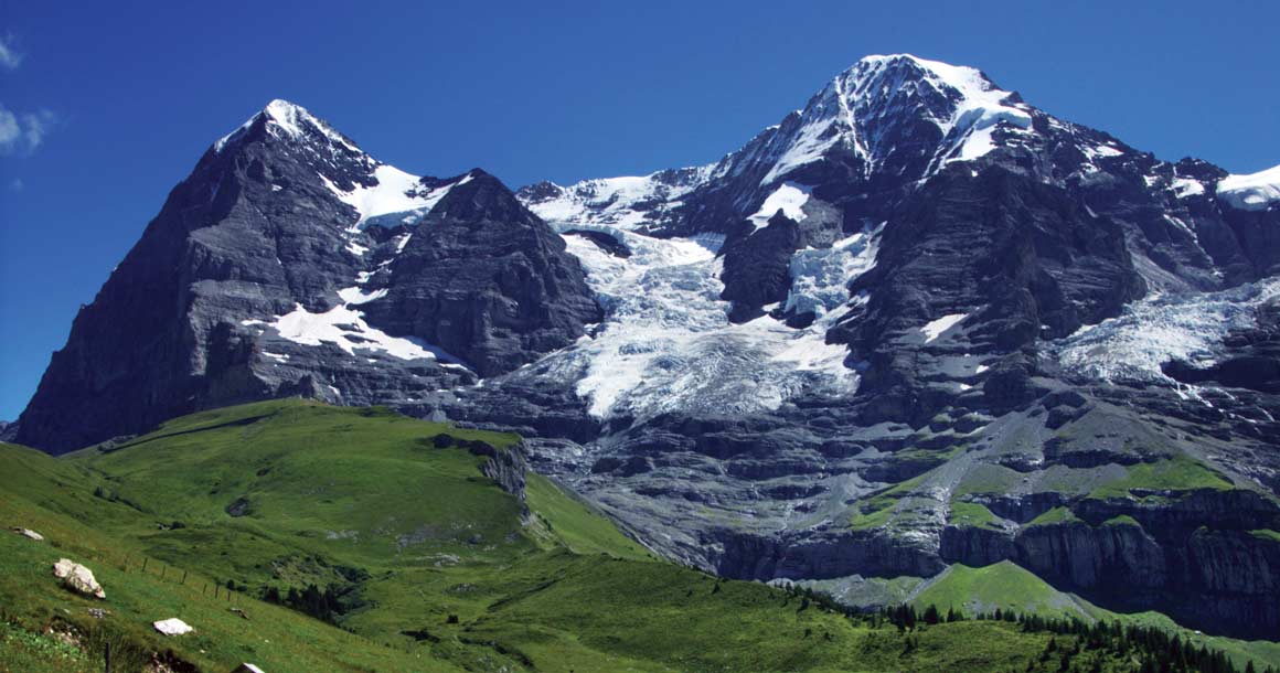
Hiking beneath the famous Eiger, Mönch, and Jungfrau peaks.
-
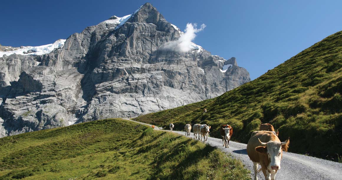
Quintessential Switzerland, from cuckoo clock chalets to cows and chocolate.
-
A strenuous hiking tour through one of Switzerland's most famous regions.
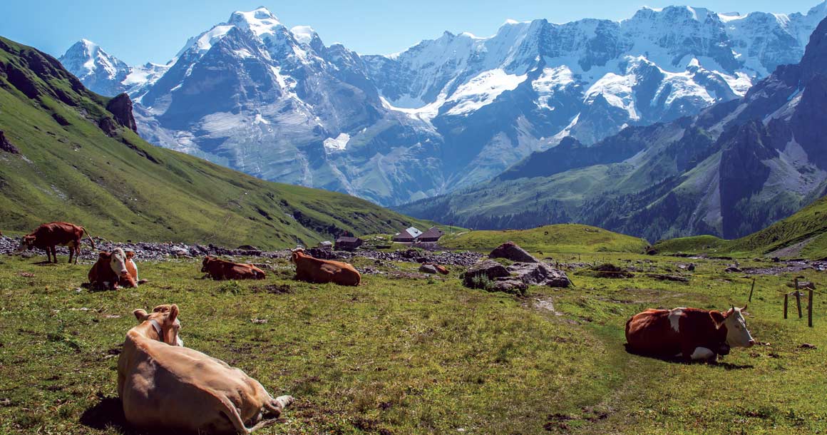
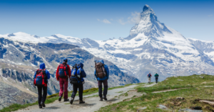
While crossing the mighty Berner Oberland range you traverse high ridges, follow valleys, and climb to a number of high, remote passes. The Berner Oberland Traverse offers glaciers, iconic mountains, and quintessential Swiss scenery. Views of the world famous trio of Eiger, Mönch, and Jungfrau make for an unforgettable adventure in the Swiss Alps.
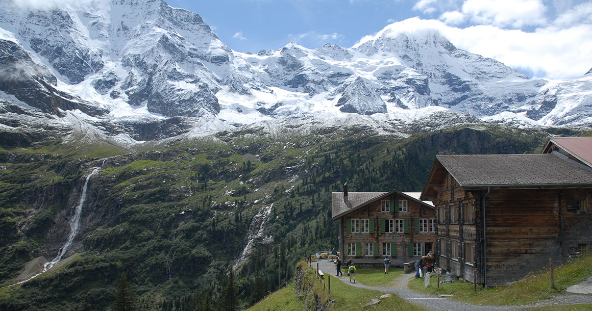
Our self-guided traverse through Switzerland’s most classic terrain is a fabulous introduction to hiking the Alps, for those with a good level of fitness. From chalet style inns and grand, art deco hotels in such renowned destinations as Grindelwald, the car-free villages of Wengen and Mürren, the tiny settlement of Griesalp in the remote Kiental, and the quiet resort village of Kandersteg this hiking tour gives hikers the opportunity to see the very heart of the Alps.
Trip Itinerary
Choose from our standard itinerary or customize the trek by adding or subtracting days.
Travel to Interlaken. Overnight in a well-appointed and well-located Victorian era hotel not far from the train station.
From Interlaken, connect by train to Wilderswil and hop onto the cog railway to Schynige Platte. From there, hike along a ridge with unsurpassed views of both the Interlaken lakes and the Eiger, Mönch, Jungfrau, Wetterhorn, and the remote Finsteraarhorn.
Distance: 9 miles. Elevation gain/loss: 2690/1900 ft.
A most classic ramble lies before you today as you cross the Kleine Scheidegg, the saddle beneath the infamous Eiger Nordwand, and descend through forest along wooded trails to Wengen. Enjoy views of the Lauterbrunnen Valley beneath.
Distance: 8 miles. Elevation gain/loss: 3500/2635 ft.
Enjoy a long ramble up the Lauterbrunnen Valley and view the thundering falls and the vestiges of pastoral culture. Ascend a remote and beautiful valley to Mürren, perched opposite Wengen.
Distance: 9 miles. Elevation gain/loss: up to 2800/300 ft.
Hike extension possible: +3 miles and 1500 ft of elevation gain/loss.
Today, you cross the Sefinenfurgge, with views back to the Eiger and ahead to tomorrow’s challenge, the even higher and more strenuous Hohtürli, or little high door, the pass into the Kandertal. You descend into the remote and lovely Kiental, a pastoral gem beneath the impressive walls of the Blümlisalp massif.
Distance: 9 miles. Elevation gain/loss: 3210/3770 ft.
Ascend to the Hohtürli, right beneath glaciers tumbling from the region’s highest peaks. On the other side lies the pastoral Kandersteg, offering views of peaks, glaciers, and the Oeschinensee, a cobalt blue lake in an amphitheater of rock beneath the dramatic Blümlisalp massif.
Distance: 9 miles. Elevation gain/loss: 4550/4930 ft w/o lift; 4550/3630 ft w/ lift.
The Sunnbüel cable car gives you a boost this morning as you begin to hike towards the famous Gemmipass. Stop at Berggasthaus Schwarenbach for refreshments before you ascend to the Engstligengrat. Here, you can either descend via Chindbettipass or hike beneath Tschingellochtighorn and connect to Engstligenalp.
Distance: 8 miles. Elevation gain/loss: 2800 ft.
From Engstligenalp set out for an airy crossing of the remote Ammertenpass and a descent by the headwaters of the raging Simme into Lenk.
Distance: 10 miles; add 2.5 miles into Lenk proper. Elevation gain/loss: 1650/4450 ft.
