Bhutan | Thimphu, Lingzhi, Laya Trek
Explore the hidden kingdom at the top of the world.
Trip Highlights:
-
High alpine trekking through a wild and protected landscape.
-
Hike up close to the Chomolhari, the Matterhorn of the Himalaya.
-
Visit temples and monasteries that are hundreds of years old.
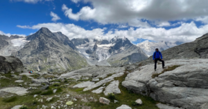
Chomolhari (24,035 feet) rises like a lofty pyramid on the border between Bhutan and Tibet. Known as Jomolhari “Mountain of the Goddess” by the Tibetan people, Chomolhari is the region’s most sacred mountain, and it’s also the highlight of our fully supported, 16-day hiking tour through the wild, undiscovered Himalayan kingdom of Bhutan.
Beginning in the vibrant cultural center of Paro, we spend two weeks visiting the people and cultural treasures that live within the realm of the mighty Chomolhari. We hike to the famous Takstang, “Tiger’s Nest”, a monastic temple built onto a cliff face 2,700 feet above the Paro Valley, and snap photos of the famous dzongs, fortress-like buildings that are unique to the Bhuddist kingdoms of Bhutan and Tibet. Before heading into the high country, we marvel at the Kyichu Lhakhang, a 7th century temple that is one of the oldest in Bhutan.
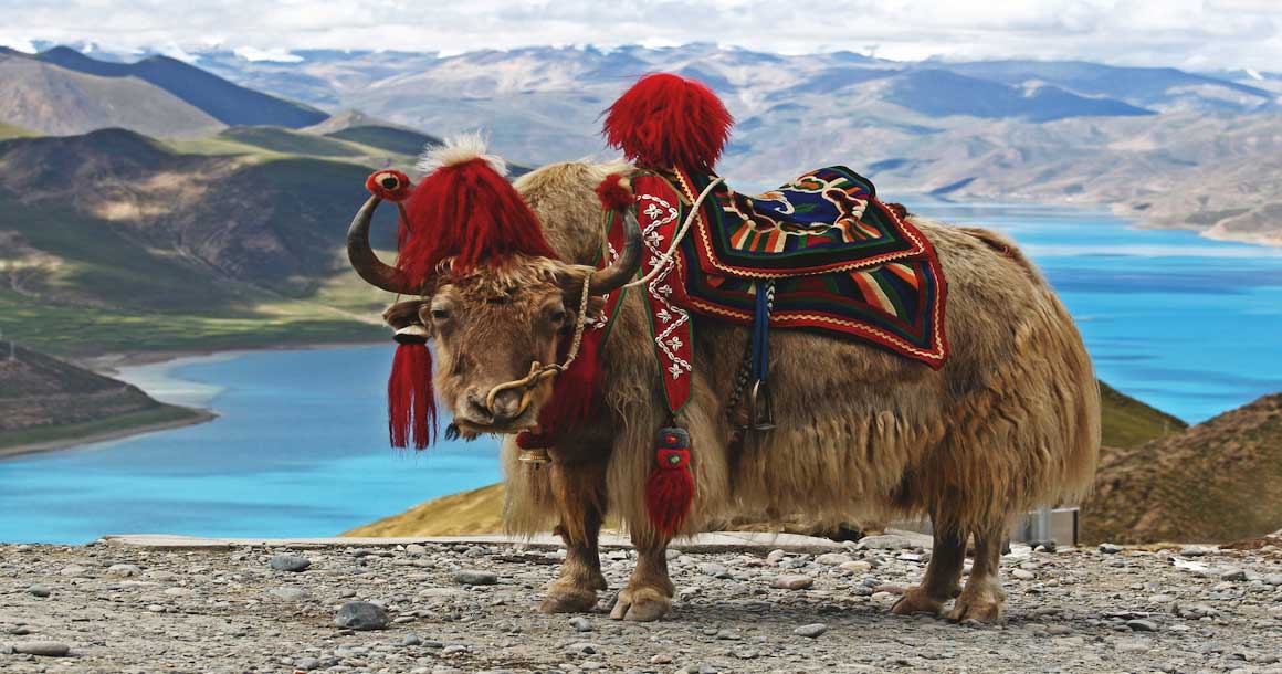
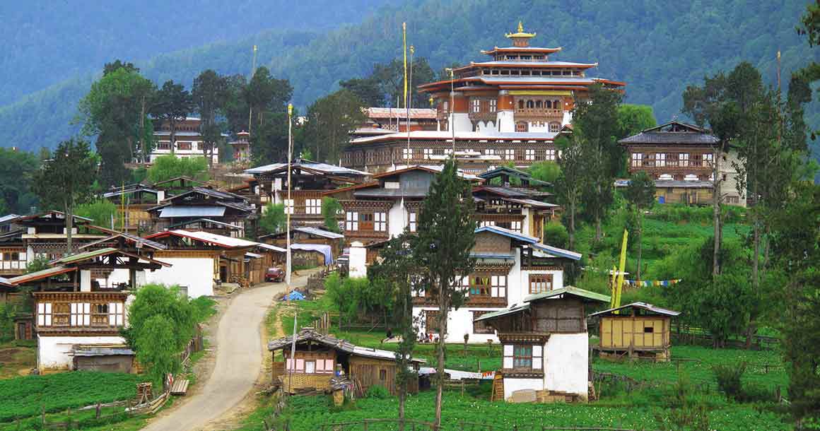
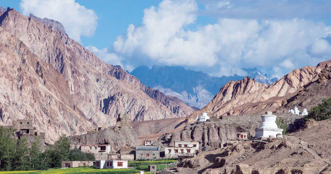
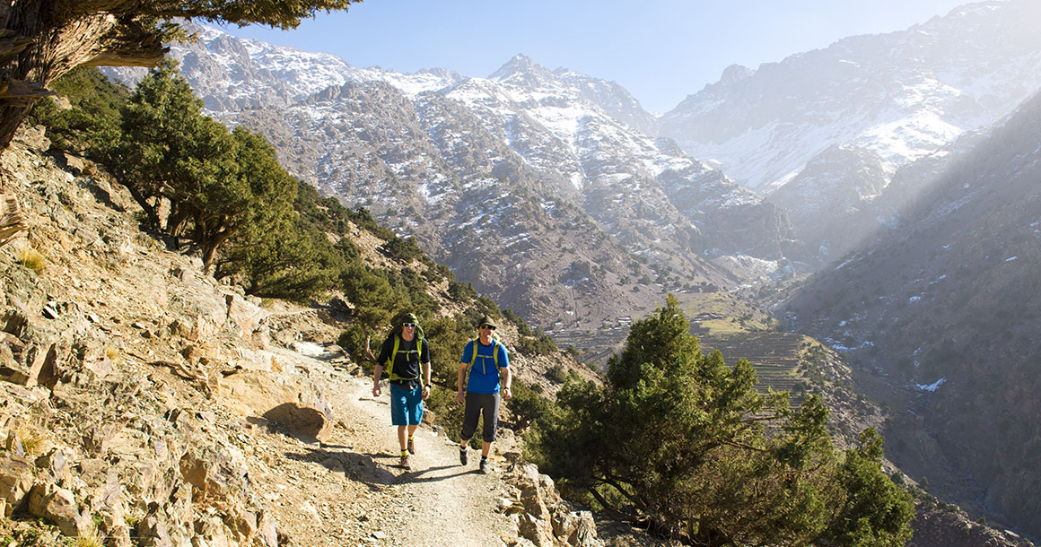
A genuine Himalayan experience continues to unfold as your team of local guides lead you to a high alpine world that few people will ever see. Wander through traditional Himalayan settlements where herdsmen graze yaks on the remote mountain slopes. Follow pristine valleys where forests of rhododendron support exotic animal species, like snow leopards and Himalayan Blue Sheep. Ascend rugged mountain passes, and relax at camp, sipping tea and watching the sun play upon Bhutan’s iconic peaks, the Chomolhari, Tserim Gang and Masagang.
Trip Itinerary
Transfer to Paro. The flight from Bangkok, Thailand to Paro, Bhutan is arguably the most dramatic flight in the world, with breathtaking views of Mount Everest, Kanchenjunga and other famous Himalayan peaks including the sacred Chomolhari and Mount Jichu Drake in Bhutan.
Our guides will meet your flight and escort you to the hotel. Your flight arrives midday, so there is time to visit the National Museum and the Paro Dzong.
Sleeping elevation: 7,220 ft.
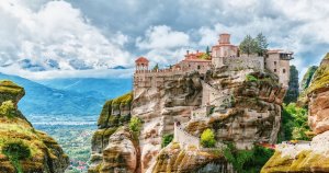
Visit Taktsang, the Tiger’s Nest Temple. This magical temple clings to a vertical granite cliff 2,625 ft. above the valley. In the afternoon, we sponsor a special Buddhist prayer ceremony at the beautiful 1200-year-old Kyichu Lhakhang Temple, to bring us good luck for the rest of the journey.
Sleeping elevation: 7,550 ft.
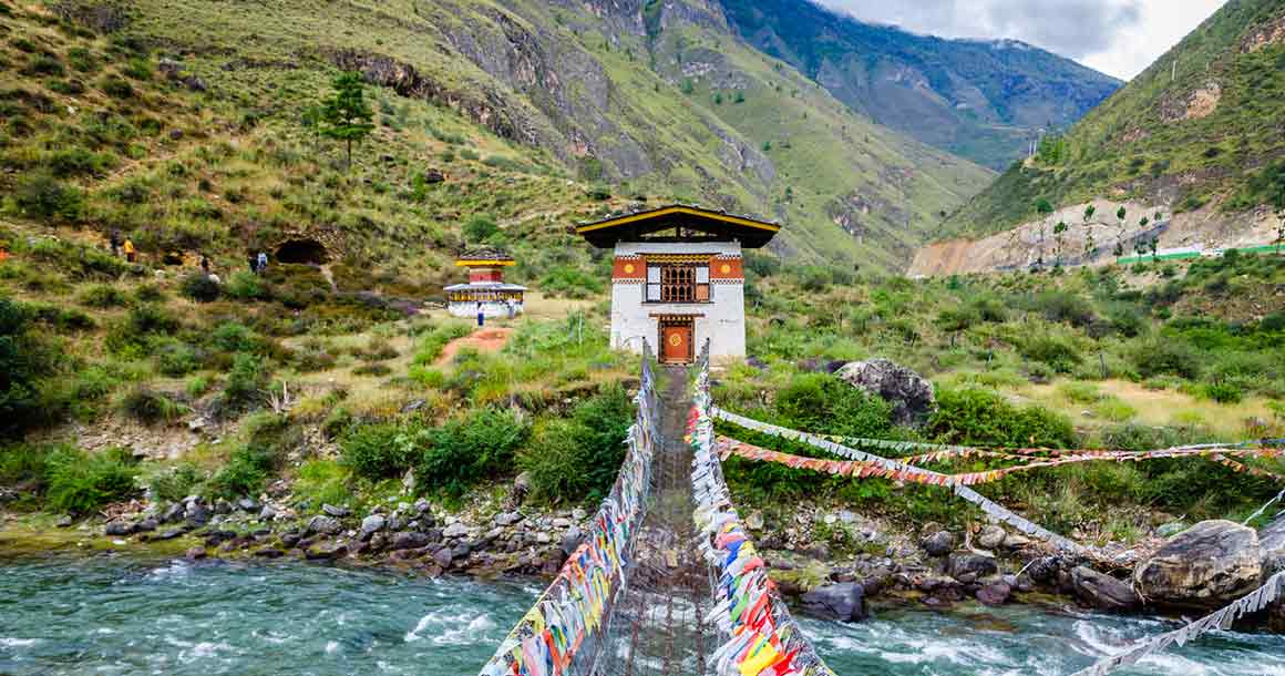
Today’s trail follows the Thim Chhu river through breathtakingly beautiful rhododendron forests and past cascading waterfalls. The valley path gradually ascends to the ruins of Barshong Dzong and on to our camp for the night on the riverside.
Distance: 9.5 miles. Elevation gain/loss: 2100/950 ft. Sleeping elevation: 11,485 ft.
The trail continues to follow the Timphchu Chu. As we ascend, snowcapped mountain peaks in the distance come into view. After passing the junctions of Paro Valley and Shodu Valley we camp for the night.
Distance: 11.25 miles. Elevation gain/loss: 1640/330 ft. Sleeping elevation: 12,795 ft.
We cross the first of the many passes today, the Yalila Pass at an elevation of 16,043 ft. Enjoy views of Chomolhari, Tserim Gang and Masagang on a clear day. Tonight, we stay in the highland village of Lingzhi.
Distance: 12.5 miles. Elevation gain/loss: 3250/3250 ft. Sleeping elevation: 12,795 ft.
Today is a rest day. There is an optional day hike.
We begin today’s shorter hike by visiting the Lingshi Dzong, built on a commanding hill by the Shabdrung in the 1600s. We also visit the dramatic village of Gangyul, surrounded by a natural amphitheater of cliffs. Tonight, we camp in the tiny, windy village of Chebisa.
Distance: 7.5 miles. Elevation gain/loss: 1120/790 ft. Sleeping elevation: 12,795 ft.
We cross over Goku La pass at 14,272 ft. and descend into a stunning rhododendron filled valley before ascending over the Jari La pass at 15,575 ft. From the pass, it’s all the way downhill into the picturesque valley of Tsharijatha, followed by a small climb to our camp at Tsheringyangu.
Distance: 11.25 miles. Elevation gain/loss: 2790/2100 ft. Sleeping elevation: 13,125 ft.
Today’s hike is strenuous trek over the Sinchey La, the highest pass on our trek at 16,420 ft. Descending to Limithang we see the snow covered peak of Gangchenta (22,441 ft.) and the glacially carved Gangchenta Valley. Gangchenta means Great Tiger Mountain.
Distance: 11.25 miles. Elevation gain/loss: 3280/3600 ft. Sleeping elevation: 12,795 ft.
We hike mostly downhill today as we make our way along a narrow, winding river valley and through densely forested region. You will enjoy spectacular views of Mt. Gangchenta and Mt. Masagang. Tonight’s camp is in a village paddy field.
Distance: 6.25 miles. Elevation gain/loss: 330/650 ft. Sleeping elevation: 12,470 ft.
Explore the village of Laya. We will offer an optional day hike.
We begin with a two-hour hike to Taktsimakhang, a small army check post. The trail from here winds up and down along the river valley of Mo Chhu, with views of the raging river, feeder streams and waterfalls. Our campsite is in Champsa just below Bari-la pass.
Distance: 12.5 miles. Elevation gain/loss: 1640/3280 ft. Sleeping elevation: 10,825 ft.
After the last climb of the Laya Gasa Trek, Bari La (12,270 ft.), the trail descends all the way to Gasa village (9,088 ft.), where we will find the first restaurants since you started from Drukgyel Dzong. It’s an hour hike up to the Gasa Tshachu (hot springs), one of the most popular hot springs in Bhutan.
Distance: 4.5 miles. Elevation gain/loss: 1475/3940 ft. Sleeping elevation: 8,200 ft.
The drive today to our hotel in Punakha will be about 4 hours on a dirt road. We visit the magnificent Punakha Dzong along the way.
Sleeping elevation: 4,265 ft.
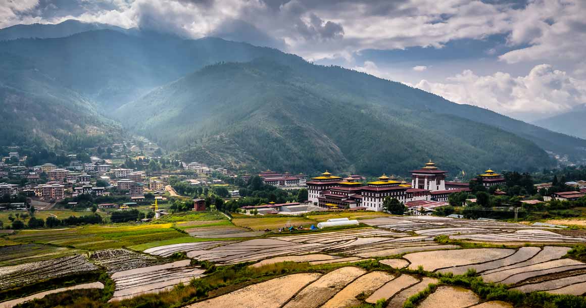
Drive for about 3 hours to the capital, Thimphu. Visit the National Memorial Chorten (monument), the Textile Museum, Folk Heritage Museum, Takin Zoo, National Library and Handicrafts Emporium. In the evening we visit the Tashicho Dzong.
Sleeping elevation: 7,545 ft.
Depart Thimphu for Paro International Airport.

